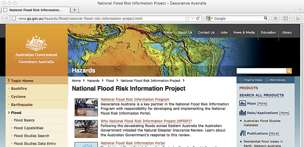
As part of Phase 1 of the four-year National Flood Risk Information Project (NFRIP, started 1 July 2012), the government launched the Flood Risk Information Portal in November 2012. A main aim of the project is to make existing flood information available from a central location. The web portal is hosted by Geoscience Australia and will be enhanced and updated throughout the life of the project.

The initial phase included significant enhancements to the Australian Flood Studies Database (AFSD) that now contains information on over 1300 existing flood studies. In some cases, digital flood studies are available. A user-friendly interface enables planners, insurers, engineering consultants, and the public to access flood information. Summary information on each flood study is provided, including:
Where the study included an assessment of damage, details such as estimates of annual average damage, or the number of properties affected during a flood of a particular likelihood will also be included.
The release also included a pilot series of maps derived from satellite imagery, showing the observed extent of floods over the previous six years for three key study areas: Condamine River, Queensland; Flinders and Norman Rivers, Queensland; and Goulburn and Loddon Rivers, Victoria. The maps can be used to understand where flooding has occurred across large rural regions where flood studies have not been performed.
During the initial phase, an agreement was signed with Engineers Australia to finalise the revision of the Australian Rainfall and Runoff. This national guideline provides technical information key to the development of future flood studies. This is a significant component of NFRIP as the guideline will improve the quality of future flood studies.